


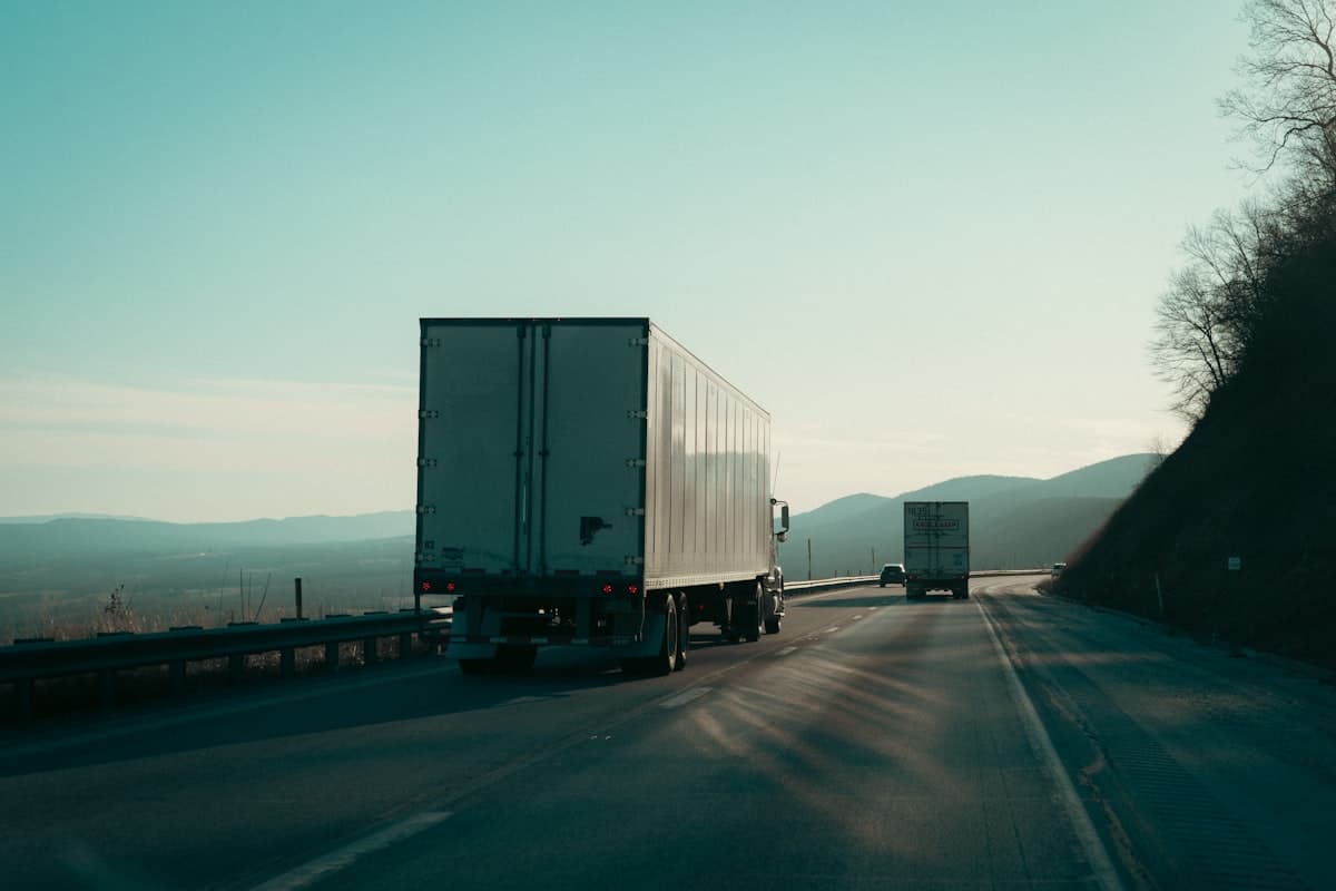

The Bioceanic (Capricorn) Road Corridor is an overland highway route being finished across four South American countries in 2026, built to move cargo from Brazil's Atlantic side to the Pacific ports of Antofagasta and Iquique in northern Chile without touching the Panama Canal. It matters this year because the one physical gap that kept the route theoretical, a bridge over the Paraguay River, is down to its final stretch, with roughly 21 metres of deck left to close as of late May 2026 per MercoPress. For anyone shipping soybeans or general cargo out of the continent's interior, 2026 is the year an alternative Atlantic-to-Pacific lane stops being a line on a map and starts being a schedule.
I track freight corridors for a living, and few have swung from "someday" to "this quarter" as fast as this one. Let me walk through what the corridor is and what its opening changes, then the border problems that will decide whether it delivers on the numbers.
What the Bioceanic Corridor actually is
Strip away the branding and this is a continuous paved road route linking the interior of Brazil to the Chilean coast. The core road corridor runs about 2,400 km according to Click Petróleo e Gás, with the IRU putting the end-to-end figure at 2,396 km. Counted differently, taking in the Santos gateway and feeder routes, the wider initiative stretches past 3,200 km per MercoPress and up to 3,800 km in IDB planning documents. That variation is not sloppiness. It reflects where you draw the start line, at the Brazilian seaboard or out in the Chaco.
The line of travel is straightforward once you see it on a map. Cargo leaves western Brazil around Campo Grande and Porto Murtinho in Mato Grosso do Sul, crosses into the Paraguayan Chaco at Carmelo Peralta, runs through Mariscal Estigarribia to Pozo Hondo, enters northern Argentina near Salta and Jujuy, then climbs the Andes into Chile through the Jama and Sico passes before dropping to the Pacific at Antofagasta and Iquique, with Mejillones as a third outlet. That routing follows the IDB corridor plan.
Route at a glance
Here is how the segments break down for planning purposes:
- Brazil: Campo Grande to Porto Murtinho in Mato Grosso do Sul, feeding from the Santos gateway.
- Bridge: the 1,294 m Bioceanic Bridge over the Paraguay River, linking Porto Murtinho with Carmelo Peralta (Click Petróleo e Gás).
- Paraguay: National Route PY15, 532 km from Carmelo Peralta to Pozo Hondo across the Chaco (BNamericas).
- Argentina: Misión La Paz and Tartagal up through Salta and Jujuy provinces.
- Chile: the Jama or Sico Andean passes down to the Pacific at Antofagasta and Iquique.
The 2026 trigger: a bridge closing its final gap
The corridor has been negotiated for more than a decade per MercoPress, so why call 2026 the turning point? Because the last missing piece is nearly bolted in. The Bioceanic Bridge between Porto Murtinho and Carmelo Peralta measures 1,294 m long and 21 m wide, with cable-stayed towers rising 125 m, per Click Petróleo e Gás. As of late May 2026 the structure sat at roughly 90% completion, with about 21 metres of deck still to join, the figure reported by MercoPress. The four governments aim to inaugurate the bridge and the wider corridor over the second half of 2026, and the road is expected to be operational around August 2026.
Throughput expectations are concrete rather than aspirational. Brazil's Federal Revenue Service, the Receita Federal, projects roughly 250 trucks per day crossing the bridge in the initial phase per Click Petróleo e Gás. That is a starting figure, not a ceiling. Studies cited by Hanseatica estimate the corridor could eventually carry more than 8.6 million tons per year and generate an economic impact above US$3 billion. For Paraguay, whose 2025 exports reached US$16.72 billion per MercoPress, a direct road to the Pacific is close to a national project.
How it stacks up against the Panama Canal
This is the comparison shippers keep asking me to run. The pitch is a land bridge that sidesteps a maritime chokepoint, and the headline numbers are genuinely large. Routing Brazilian and southern-cone exports west through Chile rather than north through the canal is projected to cut 10 to 15 days off transit to Asian markets, China and Japan chief among them, per MercoPress. Some China-specific estimates run as high as 17 days per Click Petróleo e Gás, and the same source points to a reduction of about 9,700 km in the sea leg to Asia.
The table below sets the two options side by side for a shipper moving containerized or bulk agro cargo from South America's interior toward the Pacific.
| Factor | Panama Canal route | Bioceanic Corridor |
|---|---|---|
| Mode | Ocean, via interoceanic canal | Overland road, Atlantic to Pacific |
| Transit time to Asia | Baseline | 10 to 15 days shorter (MercoPress) |
| Logistics cost | Baseline | Up to 30% to 40% lower (IRU) |
| Core distance | Sea miles plus canal queue | About 2,400 km of road (Click Petróleo e Gás) |
| Main risk | Draft limits and canal congestion | Four-country customs and border integration |
| Best fit | High-volume maritime bulk | Time-sensitive agro and general cargo from the interior |
I add one caution whenever I present this table. The corridor does not replace the canal for every flow. It competes hardest for cargo that originates inland, where trucking to a Pacific port beats hauling east to an Atlantic port and then sailing the long way around the continent or queuing for a canal slot. For coastal Brazilian volume already sitting beside a deep-water berth, the maritime route often still wins.
What the opening means for your cargo
The clearest winner is agro. Soybeans out of Mato Grosso do Sul and the surrounding farm belt currently travel long distances east before they ever point toward Asia. A western exit through Chile reshapes that math. Click Petróleo e Gás frames the route directly as a shorter path for soy heading to Asian buyers, and a 10-to-15-day saving compounds across a harvest season when vessel schedules and storage costs run tight.
General cargo benefits too, though more selectively. If you move machinery or refrigerated product on predictable lanes, the corridor offers a second option when Atlantic ports congest or canal transit slows. Transit windows are the part I would watch most closely. The Jama Pass offers year-round Andean transit, which matters because high-altitude crossings can close in winter. Planning volume around a pass that stays open is a very different exercise from planning around one that does not.
The customs barriers that still remain
Here is where my optimism turns practical. Steel and asphalt are the easy part. The harder problem is that four national customs regimes have never fully coordinated, and a truck that clears quickly in Brazil can still lose a day at the next border. Reporting compiled by Tridge is blunt: without an integrated system for inspection and customs control across the four countries, the route can be physically ready and still operate below its projected demand.
There is real progress on this front, and it is worth naming. Brazil's accession to the TIR Convention takes effect in July 2026 according to UNECE, after ratification in December 2025. TIR, adopted back in 1975, lets customs controls done at departure be recognized by every transit country, which cuts the repeated inspections at each border. Paraguay is still evaluating whether to join, per IRU, and that gap matters because the corridor is only as fast as its slowest crossing. A second lever under discussion is mutual recognition of Authorized Economic Operator programs, which would let trusted shippers move with lighter controls, an approach the IDB flags as one of the more practical near-term fixes.
Financing is following the same coordinated logic. Paraguay has already put more than US$350 million into the first Chaco section, from Carmelo Peralta to Loma Plata, and the IDB approved a US$200 million loan for Route PY15 on 18 February 2026, funding 102.5 km of the route's second section plus access roads. Money is moving. Whether the paperwork moves as fast is the open question.
My read for shippers planning 2026 and 2027
I would treat the corridor as a real option to pilot, not a lane to bet the year on yet. The physical opening around August 2026 is credible, and the transit and cost savings are large enough to matter. Customs integration is the variable that will separate the brochure from the bill of lading. My practical advice is simple. Model a test shipment and price it against your current Panama or Atlantic routing. Then build in a buffer for border dwell until the four-country customs framework proves itself in live traffic.
When shippers ask me to pressure-test a new lane like this one, I tell them to get real carrier pricing before committing volume. You can compare road-freight quotes across carriers on GetTransport.com to see what an interior-to-Pacific move actually costs before the corridor's first full season. The route is nearly here. The smart move is to price it now and keep watching the borders.
Frequently asked questions
When will the Bioceanic Corridor open in 2026?
The four governments aim to inaugurate the bridge and corridor during the second half of 2026, with the road expected to be operational around August 2026, according to MercoPress. As of late May 2026 the Paraguay River bridge had roughly 21 metres of deck left to close.
How much time can the corridor save versus the Panama Canal?
Estimates point to 10 to 15 days shorter transit to Asian markets compared with the canal route per MercoPress, with China-specific figures running as high as 17 days per Click Petróleo e Gás. Logistics cost reductions are projected at 30% to 40% by the IRU.
What cargo benefits most from the Bioceanic Corridor?
Agro cargo such as soybeans from Brazil's interior benefits most, since a Pacific exit shortens the path to Asia. Time-sensitive general cargo also gains a backup lane when Atlantic ports or the canal congest, per Click Petróleo e Gás.
What are the biggest remaining obstacles?
Customs and border integration across the four countries is the main barrier, per Tridge. Brazil's TIR Convention accession took effect on 30 July 2026 per UNECE, and as of March 2026 Paraguay had signalled strong interest and was actively advancing its own accession in talks with the IRU. The transit tool is arriving, yet mismatched procedures at any single crossing can still erode the corridor's speed advantage until every country is aligned.