




India has the largest road network in the world at roughly 6.7 million km, with the United States close behind at 6,586,610 km and China third at 5,490,400 km. Total length, though, is the least useful column in that table if you are actually moving freight. Here is the ranking, and then the two measures that decide whether a 40-tonne truck can run the lane at all.
I learned this the awkward way. A client wanted a quote from a plant in Mato Grosso to the port of Santos, and I priced it off a map that showed a dense web of roads across the state. The web was real. Most of it was dirt. The lane ran fine in the dry season and turned into a two-day gamble once the rain started, and no amount of network length in the national statistics changed that.
The ranking by total road length
These are the ten largest networks by total road length, drawn from national ministries and the CIA World Factbook. Note the data years: road inventories are published on national schedules, not a single global one, so the top two are effectively tied within the margin of their own reporting.
| # | Country | Total road network | Data year | What carries the freight |
|---|---|---|---|---|
| 1 | India | ~6,700,000 km | 2025 | 146,204 km of national highways |
| 2 | United States | 6,586,610 km | 2023 | 48,890 miles of Interstate |
| 3 | China | 5,490,400 km | 2024 | 199,000 km of expressway |
| 4 | Brazil | ~2,000,000 km | 2023 | the paved 11 percent |
| 5 | Russia | 1,579,291 km | 2023 | federal trunk roads |
| 6 | Japan | 1,218,772 km | 2023 | national expressway network |
| 7 | France | 1,118,600 km | 2023 | ~11,752 km of autoroute |
| 8 | Canada | 1,042,300 km | 2023 | Trans-Canada and provincial trunk |
| 9 | Australia | 977,874 km | 2023 | sealed highway corridors |
| 10 | Mexico | 836,603 km | 2023 | federal toll corridors |
Two things stand out before we go further. India passing the United States is a genuine change rather than a reclassification, driven by 20 years of rural road building. And China sitting third on total length while leading the world on expressway kilometres by a wide margin tells you the two measures answer different questions.
India: 6.7 million km, and the 2 percent that matters
India's network is the largest and also the most lopsided. National highways run to 146,204 km as of March 2025, which is about 2 percent of total road length, and they carry more than 40 percent of road traffic, per MoRTH. Road transport moves over 60 percent of the country's freight, so that thin 2 percent is doing most of the work of an entire freight economy.
That trunk layer is also the part that grew. National highways went from 91,287 km to 146,204 km over the past decade, an expansion of about 60 percent, while the 6.5 million km underneath it grew far more slowly. India did not become the largest network by paving villages faster than anyone else. It did it by building the freight layer that was missing.
For a shipper this is good news and bad news in the same sentence. The good news is that the corridors are identifiable: if your origin and destination both sit on or near a national highway, you are on infrastructure built and maintained for trucks. The bad news is first and last mile. The 6.5 million km that is not national highway includes a very wide range of surface quality, and the difference between a plant 5 km off a national highway and one 50 km off it is not a rounding error in transit time.
When I am pricing an Indian lane, the number I ask for is not the distance. It is which national highway the load joins and where. Everything else follows from that.
Brazil: the clearest example of length without pavement
Brazil is the case that makes the argument by itself. Against roughly 2,000,000 km of total roads, about 214,000 km is paved. That is 11 percent, leaving some 1,786,000 km unpaved.
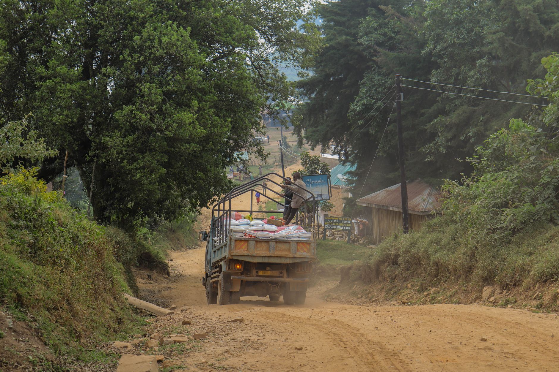
The structure underneath that average is what actually governs a lane. The federal network is only 4.9 percent of Brazilian road length but is about 85.9 percent paved. State networks are around 14.4 percent of length and roughly 53.1 percent paved. Municipal roads are the great majority of the network at about 80.7 percent, and only around 2.1 percent of them are paved. Pavement surveys in 2023 then rated 67.5 percent of the surveyed network as satisfactory, poor or very poor, with 2,684 sections flagged as critical, which is why Brazilian truckers price by route rather than by kilometre.
BR-319, the highway between Manaus and Porto Velho, is the standing example of what those averages hide. It exists on the map, it is a federal road, and it remains difficult to drive, so Amazonas freight moves by river and by air for reasons no network statistic explains.
None of that shows up in the ranking table. Brazil is fourth in the world by length and would fall much further down any list ordered by kilometres a loaded semi-trailer can use year-round.
China: 199,000 km of expressway
China's expressway network reached 199,000 km during the 14th Five-Year Plan period, according to the transport ministry figure reported by Xinhua in July 2026, up from more than 191,000 km at the end of 2024. That is more than double the American Interstate system, built in about four decades, and it is the single number I watch most closely in this whole comparison.
Expressway kilometres are a better freight proxy than total length for a simple reason: they describe controlled-access, grade-separated road with predictable speed. A dispatcher can put a number on an expressway leg and be right. On mixed rural road the same distance carries a spread of several hours depending on the season, the town centres in the way, and whether the truck is legal for the bridges on the route.
It is also the metric that reorders the podium. On total length China is third. On expressway length it is first by a margin no other country will close this decade, and that gap is why inland Chinese manufacturing can quote reliable trucking times to a coastal port from 1,500 km away.
The United States: 1 percent of the mileage, half the truck miles
The American picture is the most studied version of the same pattern. The Interstate system is 48,890 miles, which is about 1 percent of total US road mileage, and it carries more than a quarter of all vehicle miles travelled, per FHWA. For combination trucks, the vehicles that move most freight, roughly half of all miles run on that 1 percent.
Read that alongside the Indian figures and the resemblance is hard to miss. Two countries with networks of nearly identical total size both concentrate freight onto a trunk layer of a few tens of thousands of kilometres. The concentration is not a flaw in the design. It is the design, and it means the useful question about any country's road network is how good the trunk layer is and how far your facility sits from it.
This is the same logic behind our ranking of the busiest highways in the world: traffic collects on a small number of corridors, and those corridors, not the national totals, are what a routing decision is really about.
The mid-table: where length says least
Russia at 1,579,291 km, Japan at 1,218,772 km, France at 1,118,600 km and Canada at 1,042,300 km sit within a few hundred thousand kilometres of one another, and they are not remotely comparable as freight environments. Japan's network serves a country smaller than Montana with dense expressway coverage and tight urban delivery windows. Canada's covers the second largest land area on earth, with much of the network seasonal and a freight economy that runs on a handful of trunk corridors plus rail.
Australia at 977,874 km is the extreme version. The network reaches deep into the interior, much of it unsealed, which is the practical reason road-train configurations exist for outback haulage at all. Some of those unsealed roads have been closed by rain for up to 20 percent of the year, which is the kind of availability figure that never appears next to a network length. Comparing that number with France's is arithmetic, not analysis.
Mexico, tenth at 836,603 km, is the one where the trunk layer is most explicitly commercial: the federal toll corridors are where cross-border freight runs, and the difference in transit reliability between the toll road and the free road running parallel to it is large enough that shippers specify which one they are paying for.
What I check before quoting a lane in an unfamiliar country
Network size is a headline. This is the list I actually work through, in order:
- Trunk-layer access. How many kilometres from the facility to the nearest expressway, national highway or federal trunk road, and is that stretch paved?
- Seasonality. Does the route include unpaved sections, and what does the wet season do to them? In Brazil this single question can move a transit estimate by days.
- Axle and bridge limits. Legal gross weight and axle configuration differ by country and often by state within a country, and a load that is legal at origin can be illegal 200 km later.
- Toll versus free routing. Where a tolled trunk network exists, the free alternative is usually a different service level, so the quote has to say which one it assumes.
- Border sequence. For cross-border road freight, the crossing point often matters more than the road quality on either side, which is why we track the busiest border crossings separately.
- Data vintage. Ask what year the network figure is from. A 2019 inventory in a country building 10,000 km a year is describing a different network than the one your truck is on.
Length, pavement, expressway: three answers to one question
Put the three measures side by side and the ranking changes each time. By total length the order is India, the United States, China. By expressway kilometres China leads with 199,000 km. By the share of the network a loaded truck can use in any season, Brazil drops out of the top tier entirely on 11 percent pavement, while a mid-table country like Japan or France rises.
All three are correct. They are just answers to different questions, and only the second and third are questions a freight buyer asks. If you want the companion piece on the corridors themselves rather than the national totals, we ranked the longest highways in the world, where the same distinction between length and usable freight route shows up on individual roads.
Frequently asked questions
Which country has the largest road network in the world?
India, at roughly 6.7 million km as of 2025, with the United States second at 6,586,610 km. The two are close enough that the ordering depends on the reporting year of each national inventory rather than on a decisive gap.
Which country has the longest expressway network?
China, at 199,000 km reported in July 2026. That is more than double the 48,890 miles of the US Interstate system, and it is the metric that best predicts reliable long-haul trucking times.
Does a large road network mean good freight access?
No. Brazil is fourth in the world by total length with about 11 percent of that network paved, and 2023 surveys rated 67.5 percent of the surveyed network satisfactory, poor or very poor. In India, national highways are 2 percent of road length and carry more than 40 percent of traffic. Freight access is a question about the trunk layer and the distance from your facility to it.
Which measure should a shipper use when comparing countries?
Expressway or motorway kilometres for predictability of long-haul transit, and paved share for whether secondary and first-mile legs are reliable year-round. Total network length is useful for infrastructure comparisons and almost never for a routing decision.
Network figures come from national road ministries and the CIA World Factbook at the data years shown and are not published on a common schedule, so totals from different years should not be compared as a like-for-like series. Pavement shares and traffic concentration figures reflect the most recent national reporting available at the time of writing.